SkyKick is a program for archiving, documenting, visualizing and analysing flights. The program is especially adapted for the usage by glider, hangglider and paraglider pilots.
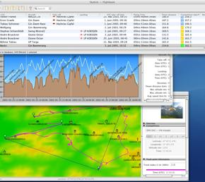
With SkyKick you can store flight data, waypoints, graphics and photos, addresses and aircraft data in a powerful database. Together with geodetical information - like elevation data, political borders, roads and rivers - the stored data can be combined to visualize the tracks of the flights in 2D or 3D terrain view or as altitude diagrams. The ability to take notes for every flight, flight point, aircraft, pilot and waypoint makes flight documentation a piece of cake. Calculation of points for popular competition types together with interactive or automatic analytical methods improve your flying skills.
Flight data can be imported from files or directly from GPS devices. Topographic features, waypoints, graphics or photographs can be imported from files using popular data formats. A lot of these information is freely available on the internet.
The data inside the database can be filtered, sorted and manipulated and exported to files or uploaded to GPS devices.